Buying Waterfront Land in Placida and Cape Haze
May 28, 2026
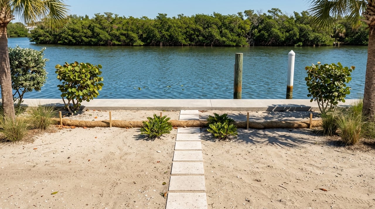
May 28, 2026
Buying waterfront land in Placida or Cape Haze can feel exciting right up until the questions start piling up. Can you build where you want, add a dock, install a seawall, or clear the lot without surprises? If you are looking at land in 33946, the smartest move is to understand the property’s flood exposure, permitting path, and physical constraints before you make an offer. Let’s dive in.
Waterfront lots in Placida and Cape Haze offer a compelling mix of boating access, coastal scenery, and long-term potential. They also sit in a low-lying coastal area of Charlotte County where flooding is a major purchase risk.
According to Charlotte County’s flood program, flooding here can result from hurricanes, heavy rain, king tides, and rising sea levels. The county cites Hurricane Milton in October 2024 as a recent example, with 5 to 8 feet of storm surge and major damage countywide.
That means a waterfront parcel is not just about views or frontage. You also need to know how the lot behaves during storms, what the elevation story looks like, and whether future building plans are realistic.
Before you focus on design ideas, confirm what the parcel is allowed to be. Charlotte County’s Planning and Zoning Division handles zoning regulations, site plan review, variances, platting, and mapping, and the county also maintains a Placida Community Plan that can affect local development standards.
For buyers, this is one of the first checkpoints. You want to verify zoning, future land use, and whether the parcel is properly platted before you finalize a contract.
A lot can look straightforward online but still carry important planning details. Local overlays, setback rules, or community-plan provisions may shape what you can build and how you can position a home or accessory improvements.
This is especially important if you are buying for a custom build or as an investment parcel. Clear answers upfront can save time, money, and frustration later.
Charlotte County has special waterfront siting rules for properties on barrier islands or within 1,200 feet of major water bodies, including Charlotte Harbor, the Gulf of Mexico, Lemon Bay, Gasparilla Sound, Placida Harbor, Red Fish Cove, the Myakka River, the Peace River, and Coral Creek.
In those areas, no building may be located within 20 feet of the mean high waterline, or within a greater setback distance if the code’s height-based standard requires more space. On a vacant lot, that rule can directly affect where a future home can sit.
A lot may have water frontage and still feel tighter than expected once setbacks are applied. If you are planning a larger footprint, pool area, or other exterior improvements, it is important to evaluate usable building area and not just lot size.
This is one reason many land buyers benefit from reviewing the parcel with local guidance before moving forward. A beautiful waterfront lot still needs a practical building envelope.
Water and sewer availability should be verified early, not after closing. Charlotte County allows buyers to request this information through its Utilities Availability Form, and the request is handled one lot at a time using the legal description tied to the property record.
If sewer is not available, the next step may involve onsite sewage review through the Florida Department of Health in Charlotte County. New septic systems require an application, a site plan, and engineer-designed plans.
If a lot will rely on septic, that can influence site design, permitting, and budget. Existing systems may also need a permit, upgrade, or variance if a building is expanded or sewage conditions change.
For land buyers, this is a major due-diligence item. You want to know whether utility service is available and what the alternative path looks like if it is not.
Flood review is essential for any waterfront purchase in Placida or Cape Haze. Charlotte County’s flood portal allows users to look up flood zones, base flood elevations, and elevation certificates, and the county uses NAVD88.
The county’s flood guidance should not be treated as background noise. In a coastal area with hurricane surge, tidal flooding, and heavy rain exposure, flood data can affect building design, insurance expectations, and the resale appeal of the property.
FEMA identifies Special Flood Hazard Areas as A and V zones. FEMA also notes that mandatory flood insurance applies when a building in an identified high-risk area secures federal-backed financing.
FEMA further states that Coastal A zones should be treated like V zones and strongly discourages using fill to elevate structures there. For a land buyer, that makes elevation strategy and site engineering part of the conversation very early in the process.
A current boundary or topographic survey is one of the most useful documents you can have on a waterfront parcel. It helps confirm lot lines, access, and site conditions, and it is also valuable because Charlotte County requires a survey and site plan for dock and seawall permits.
Waiting until after closing can delay your next steps. If the parcel has unusual boundaries, easements, or access questions, you want those answers while you still have leverage in the transaction.
Charlotte County says it may approve occupation of easements for dock access structures and seawalls, but those requests are reviewed case by case by multiple county departments and utility companies. That means an easement issue is not always a deal killer, but it should never be assumed away.
A survey can help you spot these issues early. On waterfront land, access and placement matter just as much as frontage.
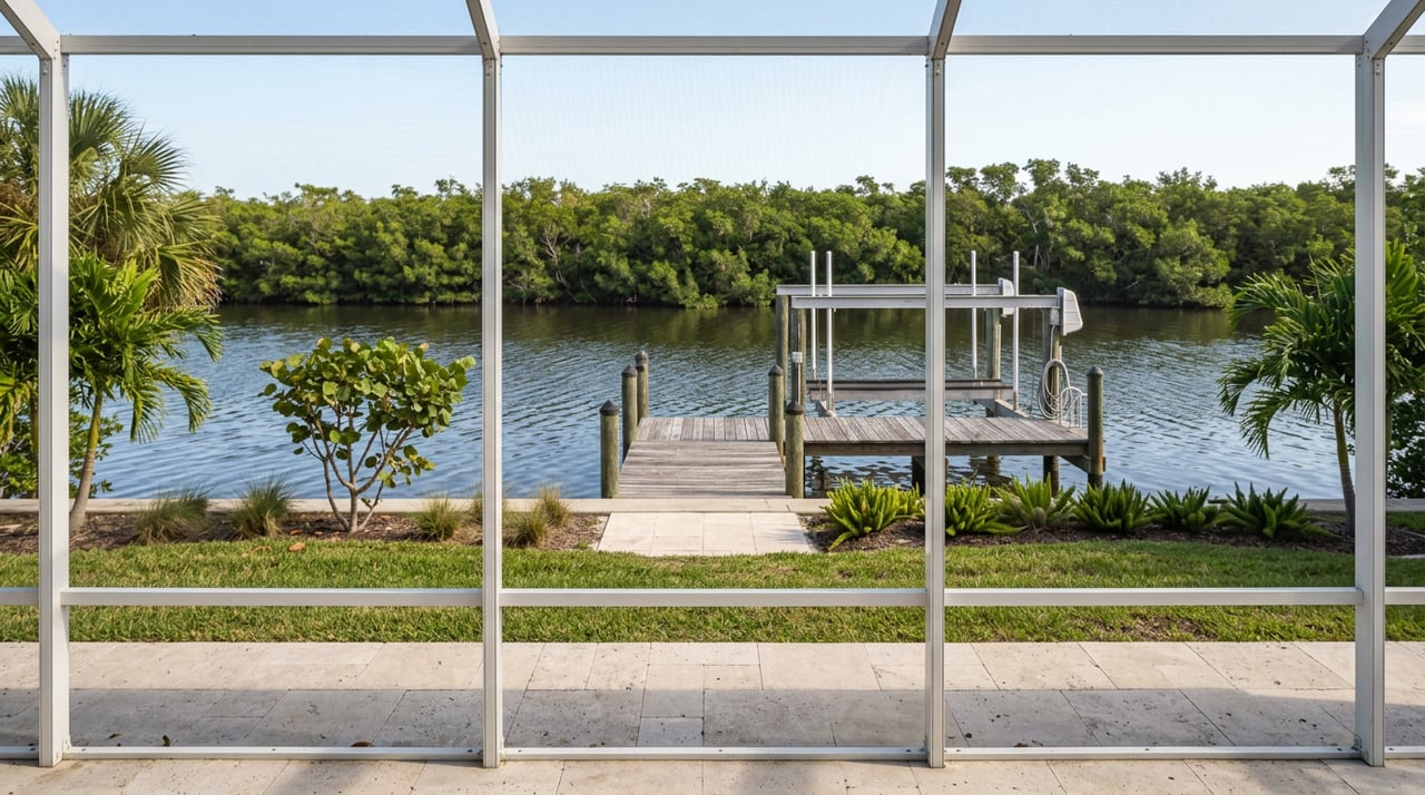
Many buyers assume a waterfront parcel automatically supports a future dock or shoreline protection. In reality, both can involve a detailed permit path.
Charlotte County’s residential dock permit requires an application, signed and sealed plans, a site plan, and often a survey. The county also notes that Florida DEP and or the U.S. Army Corps of Engineers may need to approve the project.
Charlotte County’s residential seawall permit has similar requirements, including an application, signed and sealed plans, a site plan, and a survey. That means the question is not just whether a dock or seawall would be nice to have. It is whether the parcel has a realistic path to approval.
County review for docks can include building, zoning, right-of-way, and Natural Resources review for protected species and sea turtle lighting impacts. For some single-family dock projects, DEP’s ERP portal offers self-certification options for a new dock, dock repair or replacement, or adding a boat lift to an existing dock.
Even so, waterfront permitting is rarely a one-line item. It is wise to understand probable costs, approvals, and timing before you commit to the lot.
On many waterfront parcels, wetlands, fill, and drainage are central issues. Florida DEP defines dredging and filling broadly enough to include sand, dock pilings, and seawalls when they are placed in wetlands or other surface waters.
DEP regulates these activities through the ERP program, and proprietary authorization may also be reviewed when sovereign submerged lands are involved. Charlotte County’s stormwater permit guidance further warns that a project may need an ERP from the water management district and or an NPDES construction permit from DEP.
A parcel that appears ready to build may still trigger additional review because of shoreline conditions, stormwater handling, or wetland impacts. This is especially important for buyers planning grading, fill, or shoreline improvements.
In practical terms, you should treat stormwater and environmental review as part of your land budget and timeline. That helps you make a more informed decision from day one.
In Placida and Cape Haze, environmental review is not unusual. County materials for the Cape Haze Peninsula identify mangrove swamps, wetlands, scrub habitat, gopher tortoise burrows, bald eagle nests, and scrub-jay habitat, and the county’s manatee protection plan identifies Lemon Bay, Placida Harbor, Cape Haze, and Gasparilla Sound as high-use or recurrent-use areas for manatees and boating.
DEP also states that Florida’s Mangrove Act protects white, red, and black mangroves, including rooted propagules. Trimming or removal outside certain thresholds or exemptions may require a permit or individual permit.
Charlotte County’s species permitting guidance notes that scrub-jay habitat, sea turtle lighting overlays, gopher tortoise burrows, and eastern indigo snake protections can affect whether and how a parcel may be cleared or improved. If your lot has native shoreline vegetation or habitat features, those details should be reviewed before closing.
This matters for both cost and expectations. A waterfront parcel with mangroves or species constraints may still be attractive, but the path to improvement can look very different from a more straightforward site.
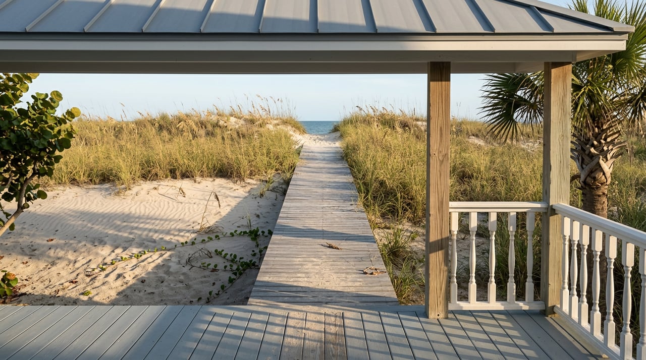
Not all waterfront frontage is regulated the same way. If a parcel sits on sandy beach or barrier-island frontage, DEP’s Coastal Construction Control Line rules can apply.
DEP says CCCL permitting focuses on impacts to the beach-dune system, adjacent properties, native salt-resistant vegetation, and marine turtles. At the same time, DEP notes that CCCL rules do not apply in the same way to marsh, mangrove, or rocky shorelines, which matters because much of the Placida and Cape Haze shoreline is tidal bay or mangrove rather than sandy beach.
Charlotte County states that development in the coastal building zone, on barrier islands, in the sea turtle lighting zone, and seaward of the CCCL receives extra permitting review. The county also regulates artificial shoreline stabilization structures and dune restoration projects.
So even if a parcel is not on a sandy beach, you should still expect site-specific review tied to shoreline conditions. Knowing the shoreline type helps you understand the likely permit path.
The best waterfront lots often have fewer unanswered questions. Based on the county and state permitting structure, parcels tend to be more marketable when they have clear zoning and future land use, documented utility availability, a known flood story, and a documented path for docks, seawalls, and easements.
That is not a fixed pricing rule, but the regulatory friction is real. Unresolved flood, utility, or environmental issues can affect financing, construction timing, and buyer confidence down the road.
For remote owners and future sellers, the most useful file often includes the survey, elevation certificate, flood-zone printout, utilities availability letter, septic or well records, dock and seawall permits, mangrove or species correspondence, and any easement occupation approval.
Because Charlotte County and DEP may require these documents at different stages, having them organized can make the parcel easier to evaluate, improve, and market later.
If you are buying waterfront land in this part of Charlotte County, it helps to think beyond the lot line. You are buying into a shoreline setting with real permitting, flood, and environmental considerations that can shape both cost and usability.
The good news is that these questions can be evaluated before you close. With careful due diligence, you can separate a promising waterfront opportunity from a parcel that may carry more limitations than expected.
If you want experienced local guidance on waterfront lots, custom-build parcels, or investment land in Placida and Cape Haze, Olivia Jones can help you evaluate the details with a thoughtful, high-touch approach.
Stay up to date on the latest real estate trends.
October 1, 2026
September 24, 2026
September 17, 2026
September 10, 2026
September 3, 2026
August 27, 2026
August 20, 2026
August 13, 2026
August 13, 2026
Whether you are looking for luxury Boca Grande homes for sale or want to list your South Florida estate, I always provide exceptional service and diligent attention to detail. If you are looking to partner with a local real estate agent who will always put your needs first, let's see how we can work together!